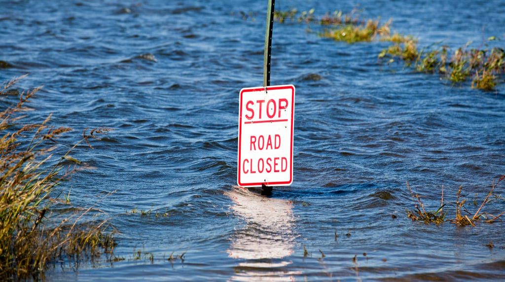
Coastal Maryland communities like St. Michael’s, Cambridge, and Ocean City could face regular floods that inundate more than half their current usable land by the end of the century if sea levels rise as much as expected over the next several decades, according to a new report by the Union of Concerned Scientists.
The report, the first to include projections for coastal communities across the contiguous United States, was published by the journal Elementa on Wednesday, the same day an iceberg the size of Delaware snapped off the Antarctic ice shelf. The report also comes with an interactive map showing just how frequent the flooding will be under various scenarios.
Even under current conditions, Maryland already ranks second—behind Louisiana—for the number of communities prone to chronic inundation, which the UCS defines as high-tide floods that cover at least 10 percent of usable land at least 26 times per year. The 12 places already suffering these kinds of floods include vacation spots like Crisfield and Smith Island. Under an moderate projection of a four-foot increase in sea levels by 2100, the chronic inundation is still expected to spread throughout the Eastern Shore. By 2035, the rest of Somerset County would face regular flooding; by 2060, Ocean City would experience flooding on as much as one-quarter of its inhabitable land; by 2080, the effect would reach Kent Island and other towns across the Chesapeake Bay from Annapolis; and by the end of the century Ocean City and many other beach communities would see regular floods that knock out up to 100 percent of their usable land.
And those projections are based on a model consistent with goals set by the 2015 Paris climate agreement, which aims to limit global temperature rise to 2 degrees Celsius by the end of the century, and from which the United States is in the process of withdrawing. From President Trump on down, current US officials openly doubt the effects human activity has on the climate and frequently dismiss efforts to mitigate harmful carbon emissions.
Under a the UCS report’s more extreme model—which threatens at least a six-foot increase in sea levels with no mitigation of man-made carbon emissions—the chronic flooding is much more extreme and arrives much sooner.
While low-lying cities on Maryland’s mainland, like Baltimore and Annapolis, are not projected to reach the 10 percent threshold under either model this century, they are hardly inoculated from the effects. Even today, Annapolis experiences regular “sunny day” floods, in which high tides drench the Maryland capital’s waterfront downtown.
Although the effect is slower there, Coastal Virginia will not spared either. Under the moderate scenario, the entirety of the Hampton Roads region will see at least 10 percent of its inhabitable land chronically inundated by the beginning of the 22nd century. In the more extreme model, Norfolk would lose 14 percent of its land to regular flooding while Virginia Beach would lose 18 percent.


