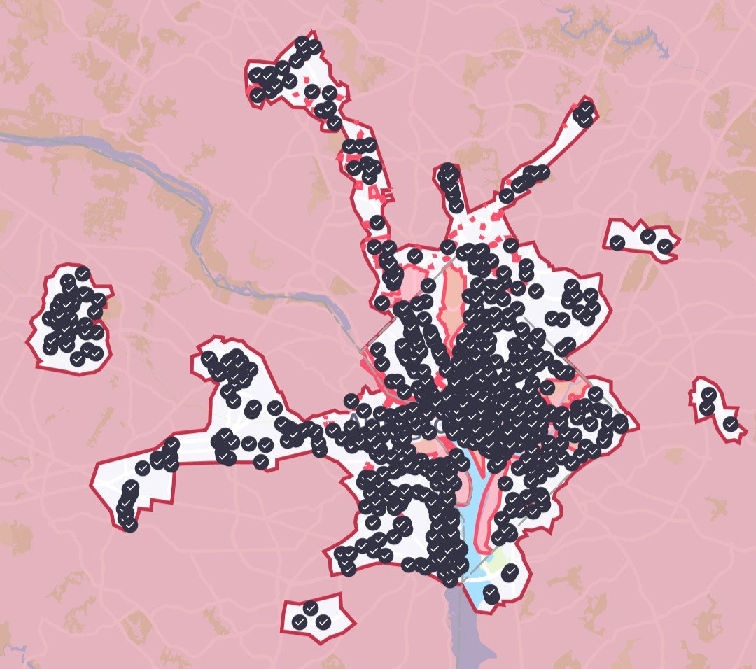
Many foot trails and bike paths start in the District and edge outward—and Capital Bikeshare (capitalbikeshare.com) offers hourly rentals on more than a thousand bikes across DC and Arlington.
Rock Creek Park
A green, leafy oasis more than twice the size of New York’s Central Park, Rock Creek Park winds its way through a large portion of Northwest DC. The park offers a variety of paved roads and bike paths, one of which connects to the Mount Vernon Trail in Virginia via the Memorial Bridge. Rock Creek Park’s 2,100 acres include a public golf course, a horse center, tennis courts, and a boat center located at the mouth of the creek. The National Zoo lies at the south end of the park, and the open-air Carter Barron Amphitheater hosts performances in summer and fall (the 24th annual DC Blues Festival is September 1). The Nature Center and Planetarium (5200 Glover Rd., NW; 202-895-6070; nps.gov/rocr) is a great starting point for trips; it’s located on the west side of the park near Chevy Chase. The park is also Metro accessible from the Woodley Park-Zoo/Adams Morgan stop on the Red Line.
Theodore Roosevelt Island
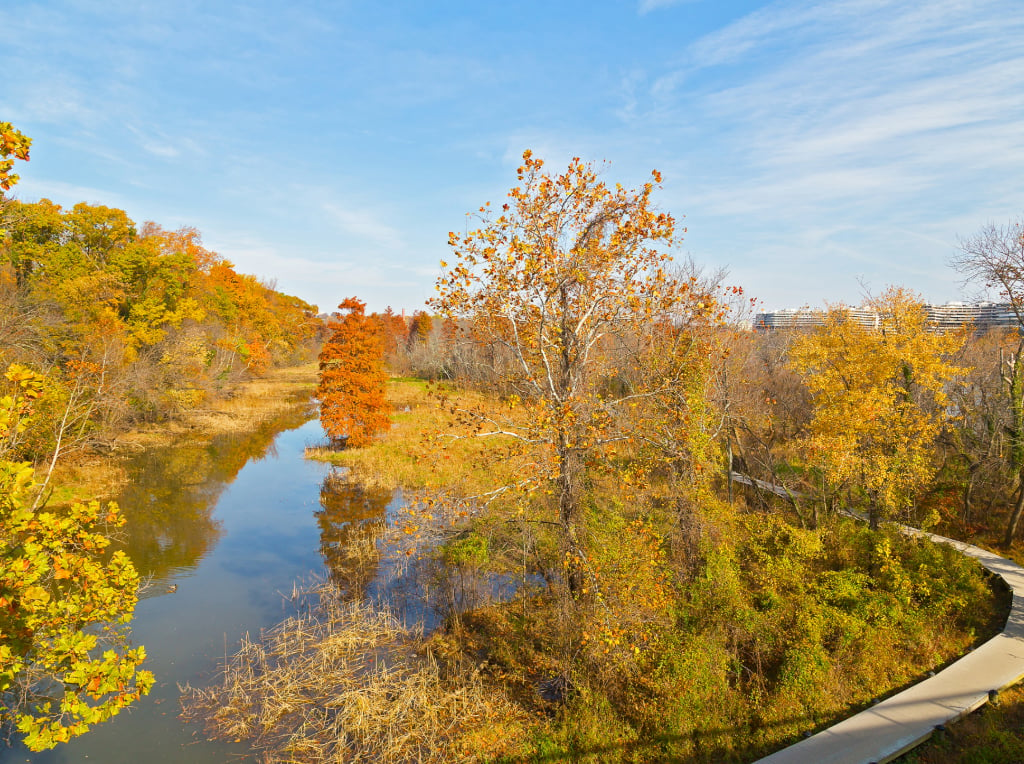
One of the leafiest places in town is Theodore Roosevelt Island. The 88.5-acre island rests just shy of the Virginia border in the middle of the Potomac and has two and a half miles of foot trails for pedestrians (bicycles aren’t permitted on the island, although you can leave them in the parking lot). Part forest, part marsh, part swamp, the habitat is home to birds, foxes, deer, and turkeys, and is an ideal spot for a quiet stroll or jog. The park is accessible via the northbound lanes of George Washington Memorial Parkway north of Roosevelt Bridge in Arlington; for more information, visit nps.gov/this.
C&O Canal and Towpath
The Chesapeake & Ohio Canal National Historical Park is one of the most popular trails in the city, stretching from Georgetown to Cumberland, Maryland, alongside the banks of the Chesapeake & Ohio Canal. The 184.5-mile-long waterway was originally used to transport lumber but is now a park; bikers, hikers, and runners flock to the 14-mile trail from Georgetown to Great Falls, Virginia, where meandering curves along the old canal line and glimpses of river through the foliage provide a picturesque landscape. Start at the Georgetown Visitor Center (1057 Thomas Jefferson St., NW; 202-653-5190; nps.gov/choh; open 9:30 to 4:30 Wednesday through Sunday, mid-April through mid-September) and bike the 14-mile route past Cabin John Creek to the Great Falls Tavern Visitor Center.
Mount Vernon Trail
This 18.5-mile stretch of paved path starts at Rosslyn and runs south to the historic Mount Vernon Estate, George Washington’s former home. The first leg of the trip offers clear views of the Mall, and the route continues through wooded land past Gravelly Point, the Daingerfield Island marina, Old Town Alexandria, and the Jones Point Lighthouse. There’s also easy access to Fort Hunt and wildlife preserves, picnic spots in Riverside or Belle Haven Park, and sailing and fishing. Mount Vernon Trail offers parking along the route, accessible via the GW Memorial Parkway. Visit nps.gov/gwmp/mtvernontrail.htm for more information.
Capital Crescent Trail
Used by more than a million runners and bikers each year, the 11-mile Capital Crescent Trail
stretches along the Georgetown waterfront, beyond the District’s borders, and ends in downtown Silver Spring. The route is paved from Georgetown to Bethesda before giving way to a span of temporary crushed stone followed by a two-mile, on-road bike route. It passes over four historic bridges and under two tunnels, and offers easy access to the C&O and Rock Creek trails, creating a 22-mile loop. The Capital Crescent trailhead is accessible from the center of Georgetown. From the end of Wisconsin Avenue beneath the Whitehurst Freeway, turn right onto Water Street. The trail follows much the same course as the C&O towpath for its first stretch. For more information, visit cctrail.org.

